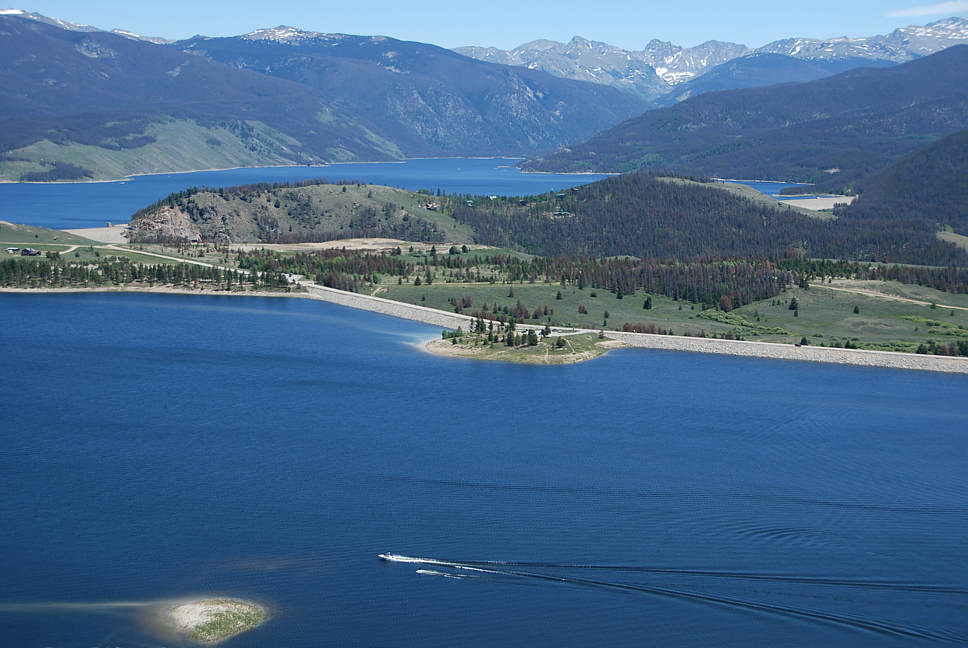
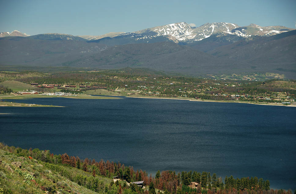
#t15 view to Indian Peaks and the Continental Divide. Scroll down for 5 more views.
Click here to return to the list of June 2009 aerials.
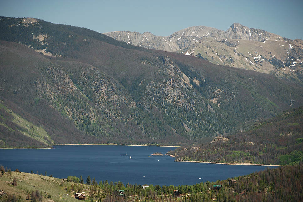
Lake Granby, south end, Indian Peaks Wilderness
#t15 view to Indian Peaks and the Continental Divide. Scroll down for 5 more views.
#t13 view to Arapaho Bay, Indian Peaks and the Continental Divide
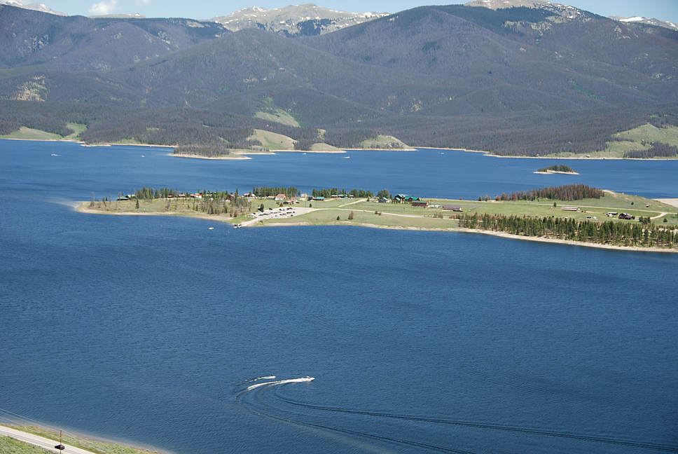
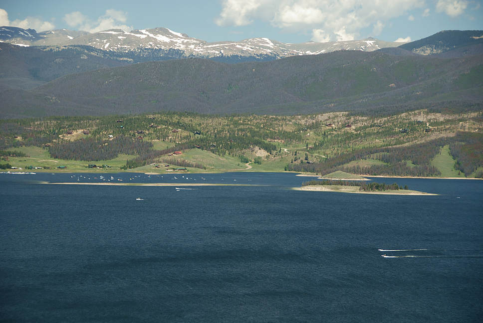
#t16 National Recreation Area Boat Launch on Sunset Point. A piece of Highway 34 is visible in left corner.
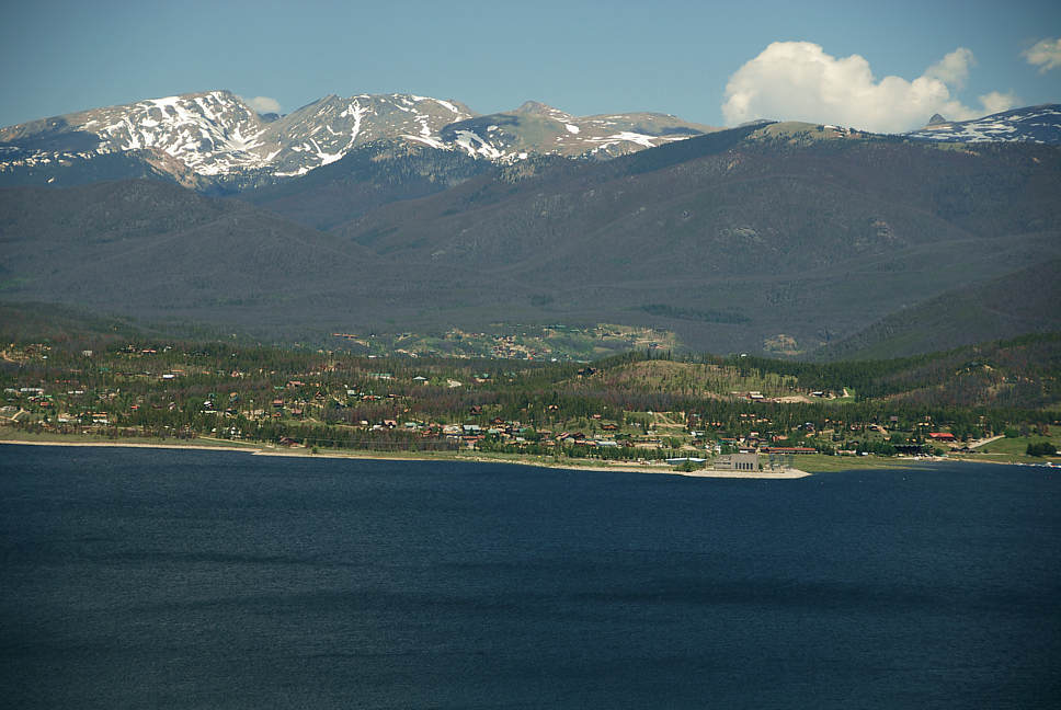
#t8 National Recreation Area Boat Launch on Sunset Point. Edge of Granby Dam is to the far right.
#t20 Lake Forest, Soda Springs, Y-Lee, Mountain Shadows
#t19 View over Lake Forest, Soda Springs, Y-Lee, Mountain Shadows to Mount Ida in Rocky Moutnain National Park.
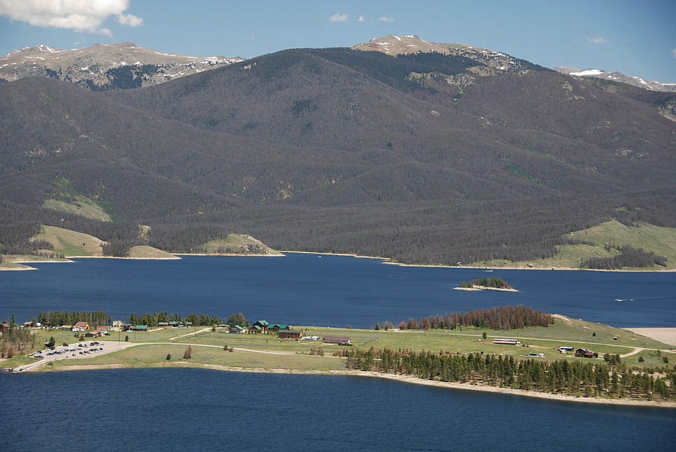
#t14 view to Mountain Shadows
Click here to jump to the next category of aerials.
Click here to return to the full list of June 2009 aerials.
Click here to see specific Homes, Land or Commercial opportunities listed in order of price.
 Click here to use our thirty special categories to narrow your search.
![]()