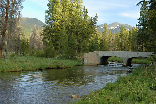
Click on photo to cross the bridge. Scroll down to see one of the natives.
Mineral Point is up to the left. Baker Mountain is up to the right.
You park your car here by the Colorado River. This is a short ways into
Rocky Mountain National Park from its west entrance near Grand Lake.
The GPS coordinates are N40 19.672' W105º 51.410'.
The slanted NW diagonal dirt road off Highway 34 is not marked.
The turnoff is south of the Baker Gulch turnoff and north of Onahu Creek
and the Green Mountain trailhead. There are some closed off parcels
in the National Park in this area. A short ways to the west, the trail enters
the Arapaho National Forest. The first part of the trail is through land
that used to be an idyllic mining settlement (in the summer) called Gaskil.
Gaskil is at the beginning of the Bowen Gulch to the Never Summer Wilderness.
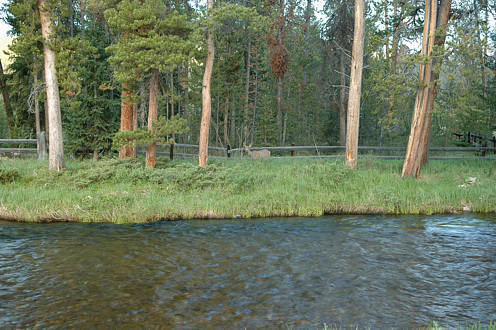
Click on photo to cross the river to the lush meadows of Gaskil.
.. return to Scenery2 page ..