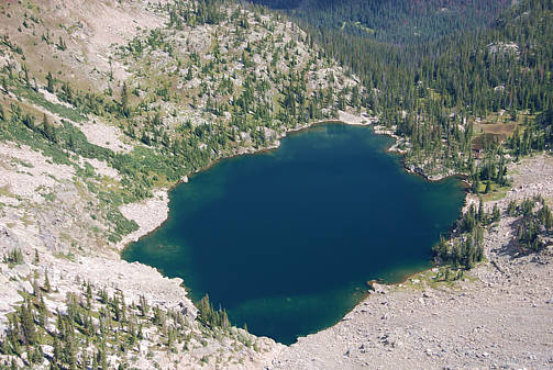
Lake Nokoni poised on carved out shelf at 11,800 feet. Hidden to the right
around a cliff face of Ptarmigan Mountain is Lake Nanita which we will
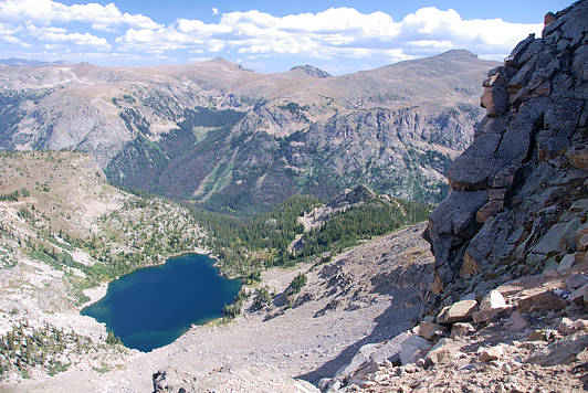
show you after making a long but safe descent to Lake Nokoni. We will
follow the him rim around the lake and descend along its east side where
elk have created a thin path. Scroll down for three more views and a
map of our descent to the lake.
Scroll down for a map of our descent. It is not difficult descent,
except for the fact that most people at this elevation are going to
be somewhat flagged from just making the effort to get here. Take
lots of breaks. There are small tree islands to help you get out of
wind and rest so that when you have to cross over the jagged boulders
you'll have good balance. It's the altitude and weather that's going
to put you in danger, not the specific terrain. Take it easy and try to
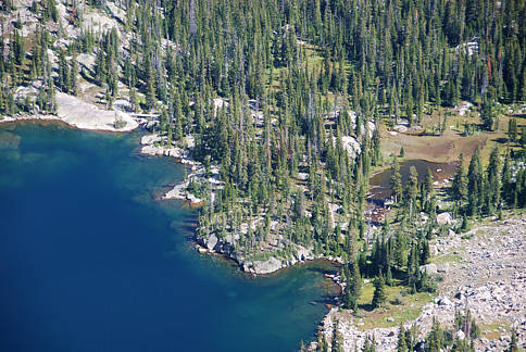
soak it all in. Click on a photo or here to see the terrain close up
and its amazing views of Longs Peak.
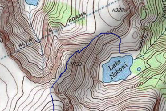
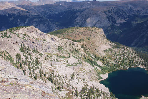
Click on photo for photos taken along our descent. We will also look
down upon Pettingell Lake which is shown at the top of the map.

.. return to Scenery2 list of journeys ..