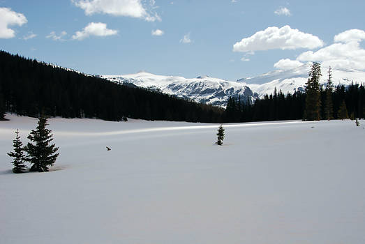
Scroll down for three more views and a map. Click on a photo for
more views of this grand meadow.
Scroll down for three more views and a map. Click on a photo for
more views of this grand meadow.
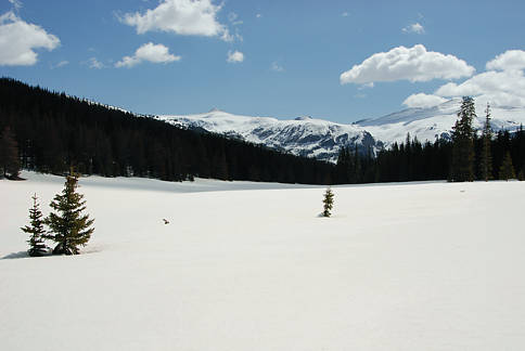
Views above are looking eastward. Views below are looking westward.
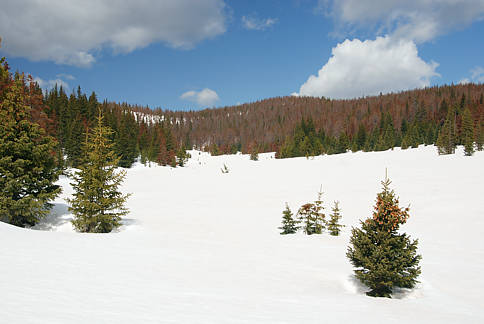
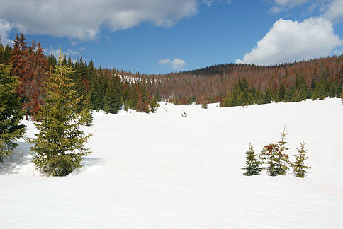
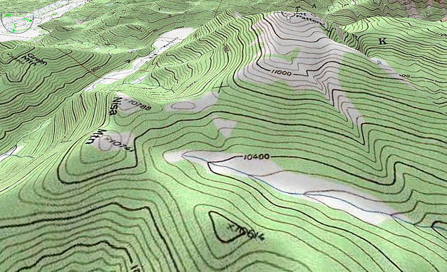
To get to Mount Patterson, you want to first reach Nisa Mtn or the long meadow
below Patterson's southern face. The tree coverage in 2009 seemed to be greater
than is indicated in this USGS topo map. Nisa Mtn had very little open area for
which one could get a clear view; the open tundra on Mount Patterson seemed to
be less extensive than the topo map indicates. Although there was much beetle kill
in the forest, we were impressed by the frequency of healthy Engelman Spruce and
Alpine Fir and also the large number of young lodgepole pine that are growing.
From a distance, the forest looks ravaged by beetles. Up close and in it, one can
see almost everywhere that a new and more diversified forest is well on its way
to replace the dying lodgepole pine forest. If the moisture levels and snowpack
remain near average or better in the years ahead, the rebirth will be fairly quick.