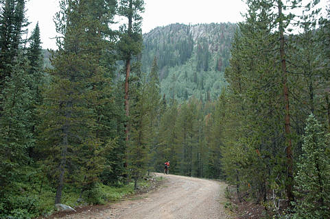
Click on photo to continue up the road. Scroll down for maps.
Click on photo to continue up the road. Scroll down for maps.
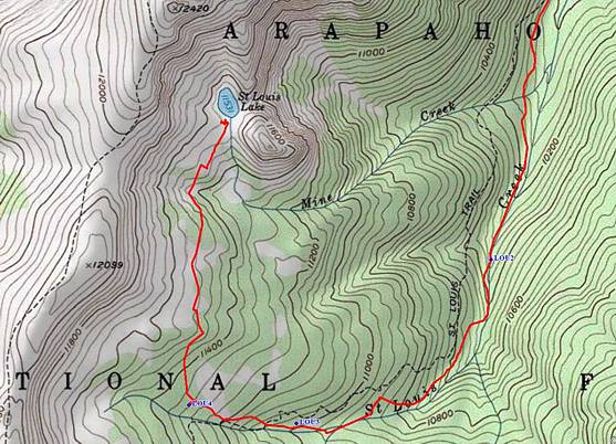
Starting point is off the map at top, about a mile and a half to the north.
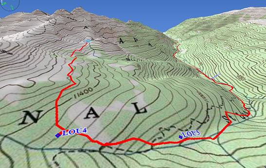
The waypoint called Lou2 is where you park your bike and start walking.
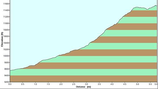
Click on the elevation profile of the route to continue up the first 3 miles of road.