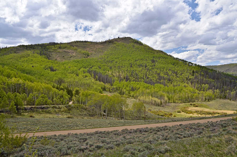
Scroll down to see the view continued to the left .. Click on a photo to look up the driveway.
![]() Scroll down each page that opens to see everything.
Scroll down each page that opens to see everything.

Scroll down to see the view continued to the left .. Click
on a photo to look up the driveway.
Great home site for an active family. 2.8 Acres of varied terrain
from aspen forest to a mystery mine in its upper corner.
Well is already drilled. Driveway runs to an excavated building
pad with room for modifications as you wish.
Interesting views from birds getting lift from the nearby ridge to
one of our favorite views into an Aspen Forest
from long ago. $79,900 #3168 Road 41. Flint Outright Exemption Tract 3A. R097271
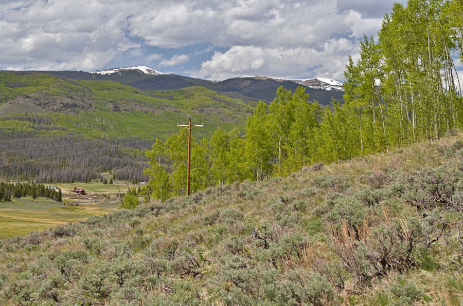
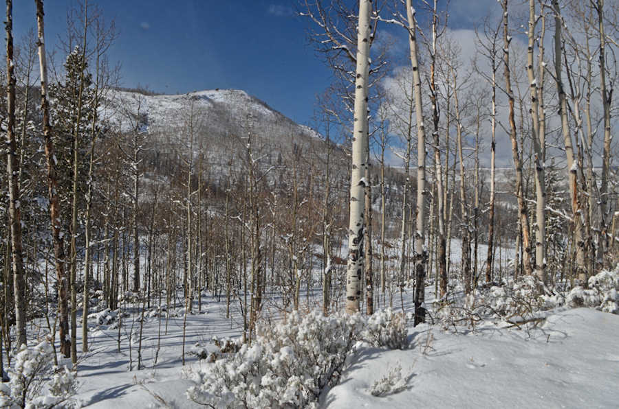
Scroll down for winter and fall views from our archives.
Click on a photo to look up the driveway.
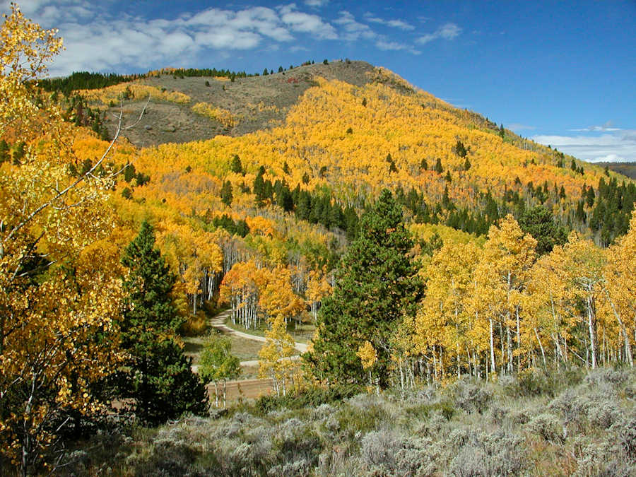
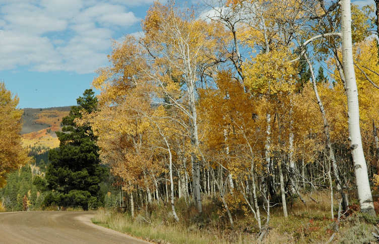
Scroll down for an aspen view from our archives taken just a
little further up. Click on a photo to look up the driveway.
Scroll down to shift the image above forward 5 years to January of
2012.
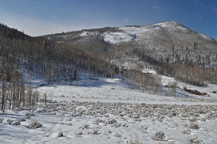
Scroll down for three more views in color and also to see maps of
the setting.
 Scroll down for maps
and more.
Scroll down for FIVE maps of the area.
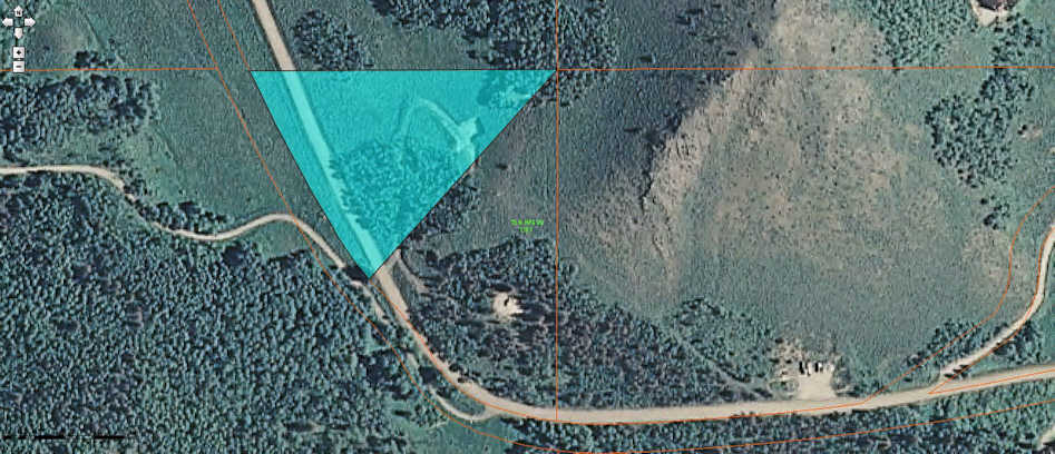
Land is a triangle running up a hill from its 550 feet of frontage
along road 41 to Trail Creek estates (5 miles west of Lake
Granby).
North boundary line is 546 feet long.
Click here to » tour
inside a home a little further up the road on 14 acres. Use your back button to return to
here.
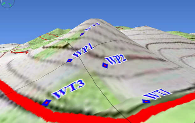
Scroll down for large scale maps. The three corners of the
Triangle are labeled above as WT1, WT2, WT3.
WP1 and WP2 are power poles. Click here to see the excavated
building area above the power line.

Click here to » tour
inside a home a little further up the road where it says Ski
Lift. Use your back
button to return to here.
Scroll down for a wider view showing the way back to Lake Granby
and a paved Boat Launch.
Click on map to look up the driveway at the bottom left curve of
Road 41.
..
.. return to list ..