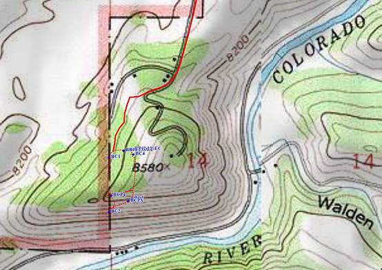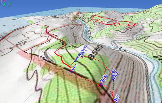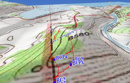
Scroll down for two more maps. The dotted red lines outline a trapezoid
around the property. The southwest facing views shown at the beginning
of this presentation are from the ridgeline (where is says BCPX).
The GPS coordinates for a choice home location are 40° 7.913' north,
105° 52.926' west, 8420 feet high (420 feet over the river). Click on a map
for views from the ridge to the southeast to the Continental Divide.