Scroll down to see
everything.
Scroll down to see
everything.
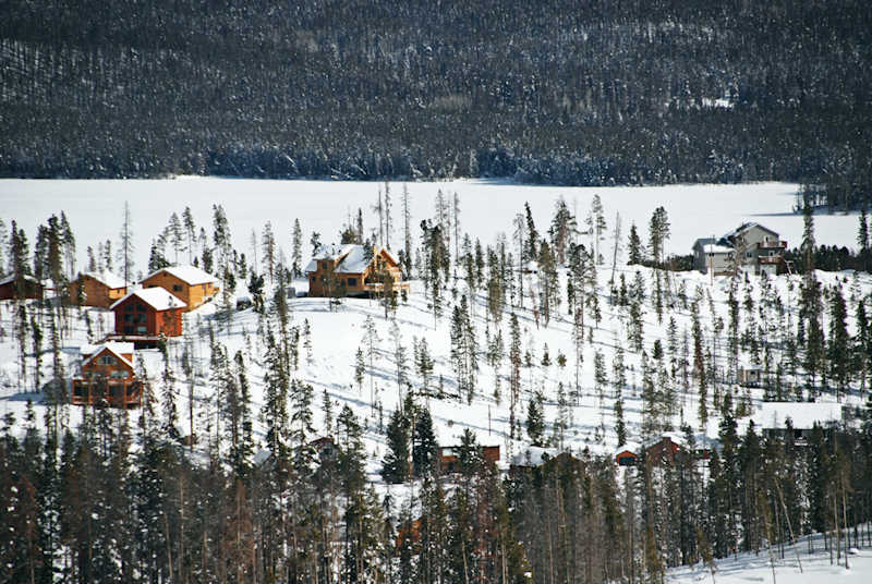
The property's driveway shows here as the short road curved just below the middle of the ridge (below the white house).
Scroll down for an aerial view of the setting in the winter.

The two adjoining lots are along the ridge in the middle (scroll down to zoom in). Over the ridge (out of site and hearing range)
towards Shadow Mountain Lake is Highway 34. 11,043' Mount Bryant looms high over the lake.